Natural Resources Management
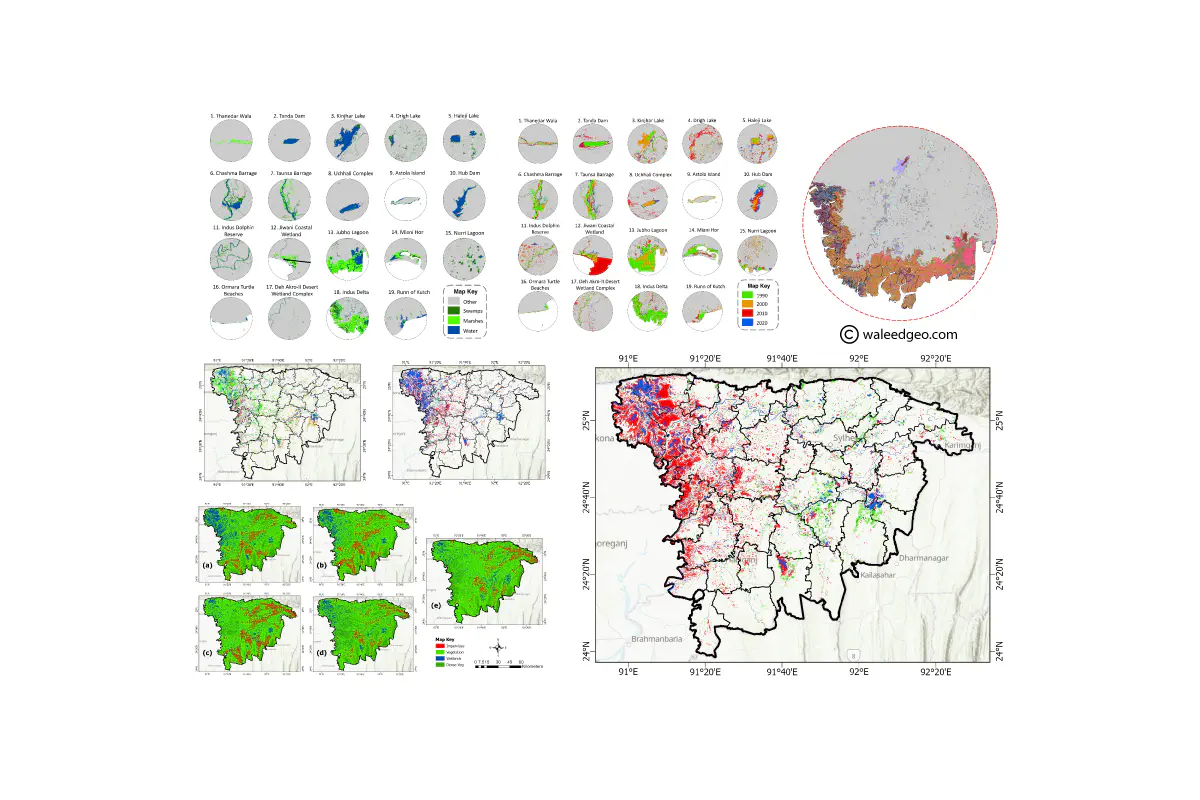
Wetlands play a vital role in maintaining the health of the planet, providing essential ecosystem services such as carbon storage, water purification, and habitat for wildlife. However, wetlands are under threat from human activities such as land use changes, climate change, and pollution. Monitoring wetlands changes is essential to understand and mitigate these threats, to ensure their sustainability for future generations. Remote sensing technologies, coupled with geospatial analysis, offer an effective way to monitor wetland changes at regional and global scales. By monitoring wetlands, we can better understand their ecological functions, make informed management decisions, and contribute to the preservation of these valuable resources.
If you’re interested in learning more about my research on wetlands, take a look at my publications or feel free to contact me directly. I welcome collaboration opportunities and look forward to sharing my research findings with you.
Some of my best work in this domain:
Mirza Waleed
PhD Researcher | Google Developer Expert
I am a Ph.D. Fellow at Hong Kong Baptist University, specializing in geospatial data analytics techniques, cloud computing, and artificial intelligence for disaster risk management, especially for flood hazards. I am also a Google Developer Expert in Earth Engine category. My goal is to use geospatial technologies to create sustainable and resilient communities. Let’s connect and collaborate to make a positive impact.