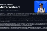
Spatial Impact Award 2025
By Atlas.co, the Spatial Impact Award recognizes outstanding projects that leverage geospatial technology to address real-world challenges. In 2025, the award highlights innovative applications in environmental monitoring, disaster management, and sustainable development.
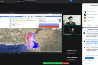
GIS Applications for Data-Driven Water Resource Management
A Hands-On Introduction with Flood Examples

Top GIS Voices 2024
Selected by Atlas.co as one of the 50 most influential voices in the GIS community. This award recognizes individuals who are actively sharing knowledge, fostering innovation, and driving the geospatial industry forward through community engagement and technical expertise.
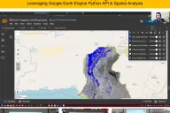
Flood Inundation Mapping & Impacts: Leveraging Google Earth Engine Python API and Spatial Analytics
Complete guide to satellite imagery analysis using Google Earth Engine and Python for environmental monitoring and climate research.
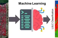
LULC Classification using Machine Learning with Python
Blog on mastering machine learning based land use classification using Python: A comprehensive guide.