workshop
GIS Applications for Data-Driven Water Resource Management
September 22, 2025
A Hands-On Introduction with Flood Examples
GIS Applications for Data-Driven Water Resource Management
Organized a hands-on workshop on GIS applications for water resource management, focusing on flood analysis using Google Earth Engine (GEE) and ArcGIS Pro. The workshop covered:
- Introduction to GIS for Policy and Water Resources: Overview of GIS applications in water resource management and policy-making.
- Hands-On GEE Session: Practical exercises using GEE to analyze flood events, including data acquisition, processing, and visualization.
- ArcGIS Pro Training: Training on using ArcGIS Pro for advanced spatial analysis and mapping.
- Case Studies: Real-world examples of flood risk management and water resource planning using GIS.
- Interactive Q&A: Engaged participants in discussions and problem-solving related to GIS applications in water resources.
Below are some of the screenshots from the workshop:
GEE Session
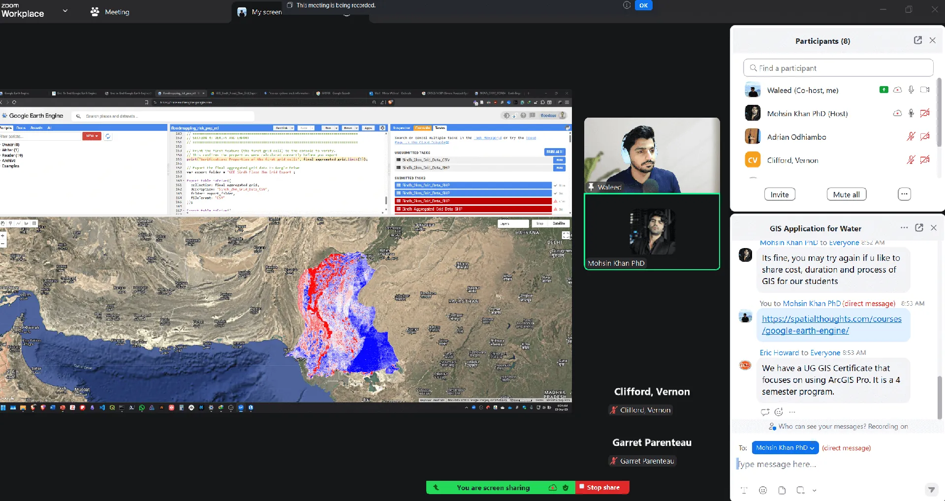 Earth Engine for Scalable Flood Hazard Mapping
ArcGIS Pro Session
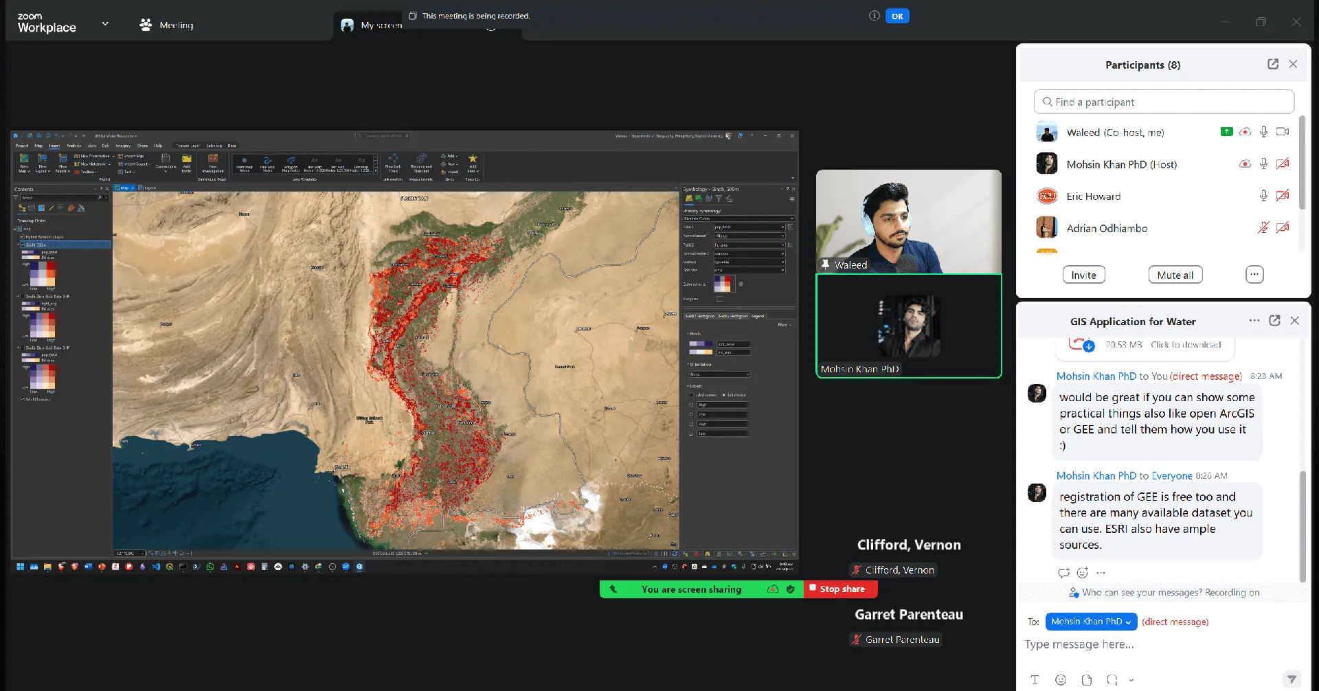 ArcGIS Pro for Advanced Spatial Analysis: Flood Exposure Assessment
Workshop Participants
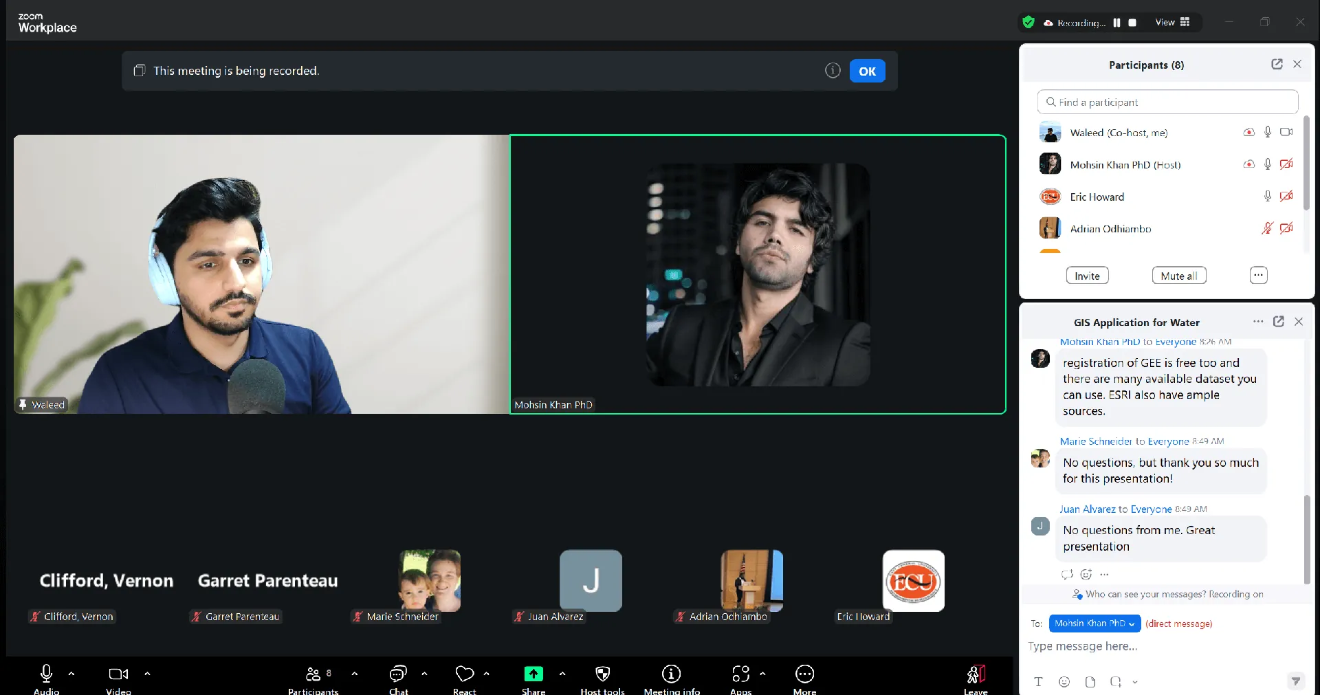 Engaged Participants in Hands-On GIS Training