Climate Change

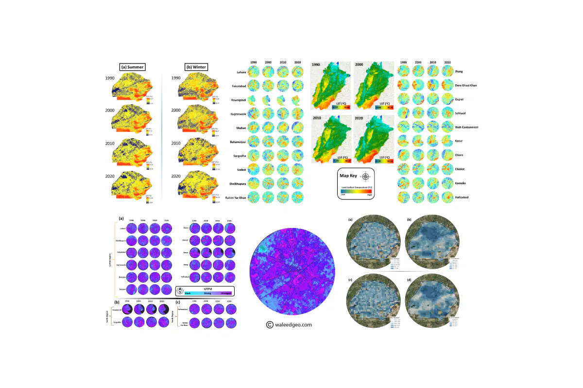
Climate change is a global phenomenon with significant impacts on the environment, ecosystems, and society. Remote sensing techniques, like thermal imagery, provide a valuable tool for monitoring and understanding these changes. By utilizing remote sensing data, we can observe changes in land surface temperature, vegetation cover, sea level, and other critical indicators of climate change. This helps identify areas at risk of environmental degradation and inform management strategies to mitigate the impacts of climate change. Remote sensing provides a comprehensive view of climate change patterns at different spatial and temporal scales.
Urban Heat Island Effect
Urban heat island (UHI) effect occurs when urban areas experience higher temperatures due to human activities. This effect has significant impacts on human health, energy consumption, and the environment. Remote sensing techniques can provide a valuable tool for monitoring and analyzing the UHI effect. Satellite imagery and remote sensing data can observe and map the spatial distribution of temperature across urban areas and identify areas at risk of high temperatures. The study of climate change focusing on the UHI effect is essential for promoting sustainable urban development and improving the quality of life for urban dwellers.
If you’re interested in learning more about my research on climate-change, take a look at my publications or feel free to contact me directly. You can also check out some of my best visualizations on climate-change in the visualization section. I welcome collaboration opportunities and look forward to sharing my research findings with you.